Many people think geospatial digital twins are just fancy 3D maps, but they’re much more than that. They combine real-time data, sensors, and location info to help industries see what’s happening, plan better, and make faster decisions. These systems reflect real-world environments using current location data, predictions, and sensor data, enabling decision-makers to understand, model, and operate across mining, utilities, agriculture, manufacturing, city planning, and in public sector organizations. This blog looks at how geospatial digital twins are changing different industries and public sector planning, and what organizations should keep in mind when adopting them.
Benefits and Industry Applications
A Geospatial Digital Twin is far more than a static map, it’s a dynamic decision-making engine.
1. Proactive Surveillance and Asset Monitoring
At the heart of every plant, whether a steel mill, cement works, or a coal mine, is the need to keep operations running safely and smoothly. Digital twins elevate surveillance from occasional drone flyovers to continuous oversight. Advanced drone-based surveillance integrates seamlessly into digital twin platforms to provide this continuous monitoring capability. For power and steel companies, this means 24/7 monitoring of furnace performance or powerline sag, drastically reducing unplanned downtime.
2. Intelligent Plant and Logistics Monitoring
Logistics often make or break operational efficiency. Geospatial digital twins transform mundane yard checks into laser-focused coordination.
Supervisors can use location data from the equipment to monitor both productivity and the amount of materials from any location. The system keeps an eye on vehicles and machines, letting you know which areas should be fixed for spraying, harvesting, or moving materials.
If supplies are running low, the digital twin will order the next shipment, making sure the operation stays on track and does not shut down. It results in a system where everything is linked and uses real-time information.
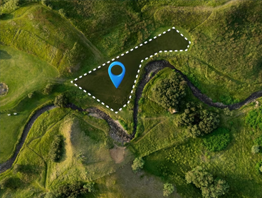
3. Comprehensive Land and Asset Management
Digital twins unify cadastral data, parcel maps, and historical land records into an interactive, 3D interface. This integration is powered by comprehensive land survey & mapping services and digitization of land records that form the foundation of accurate digital twins analysis, answering related queries.
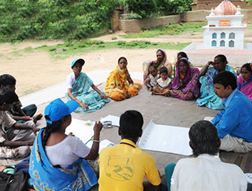
Surveyors find the exact locations of the boundaries and include them in the twin system. Departments in the government can use digital maps to identify any unlawful use or occupation of land. If someone asks about a property, officials can present a timestamped 3D view to prove when the changes were made, making things clearer and avoiding scams. It also keeps records of permit areas, the rules that apply, and areas that are protected. Inspections allow organizations to easily present regulators with all the information about permit limits, ongoing work, and environmental compliance.
4. Digital Enablement and Data Digitization
Geospatial Digital Twins thrive on digitized documents, scanned deeds, environmental permits, and technical manuals, all linked spatially to real-world locations.
Any document connected to a property in the Twin can be quickly found and accessed by legal teams. Soil reports, applications, and certificates can be turned into overlays on the farm management software for specific areas. Inspectors can review all the necessary records and information about activities, usage, and compliance on the 3D map when they visit. The twin stores’ environmental assessments, permits, and disposal records, so managers can confirm that the company follows the law and stays sustainable.
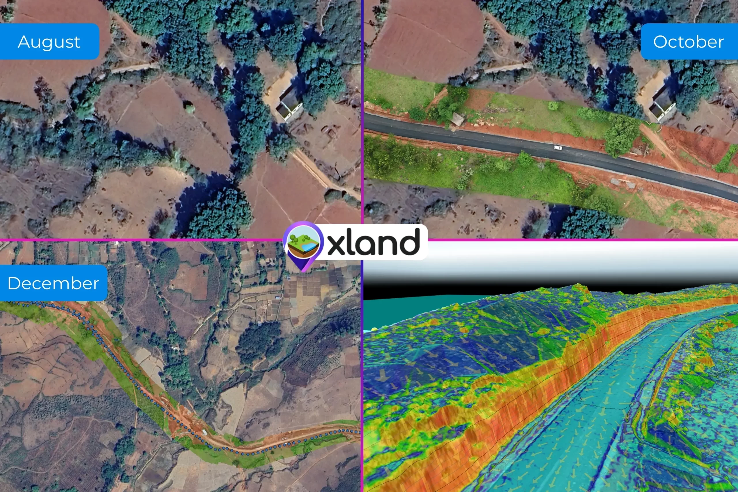
5. 3D Geospatial Analysis and Parcel Mapping
By merging LiDAR-derived elevation models, multispectral UAV imagery, and topographical surveys into a cohesive digital twin, organizations access advanced analysis capabilities.
In the twin, operators can observe 3D water movement, areas with high moisture, and the health of the plants. Authorities in charge of water management use the system to identify where water is collected, simulate how much water is stored, and predict how much water will flow during heavy rains. By using underground pollution models on the landscape, developers can plan their excavation work more safely. This way, the areas affected by contamination are not disturbed, and the cleanup team can deal with hazards safely.
6. Crop Classification and Environmental Monitoring
Geospatial Digital Twins can differentiate corn from soy, pine from cedar, and concrete from sand, all by integrating spectral indices (NDVI, NBR) into the model.
The twin uses smart algorithms to review seasonal drone images and detect any signs of plants not growing well or pests early. It helps to avoid damage to all the crops in a large area. Forest departments rely on laser scanning and special images to check tree replanting and calculate the amount of wood. Buyers at timber auctions can use 3D wood estimates to confirm that harvests are sustainable and the payments are correct.
7. Excavation Monitoring and Logistic Automation
By using live data from LiDAR scanners, GPS in haul trucks, and blast surveys, Geospatial Digital Twins keep everyone informed. Professional stockpile monitoring and DGPS survey services provide the precise data inputs that make this real-time monitoring possible.
As soon as digging starts, the elevation model is updated. The site plan helps specialists notice if the excavation is deeper or shallower than it should be. The system helps avoid sending trucks to crowded places or dangerous slopes to ensure the smooth running of the system. Comparing material removal as it happens against what was expected from volume data in the twin is part of progress tracking. If the stockpiles are below the limit, the system sets up the next blast and organizes trucks to prevent any delays.
Conclusion
Geospatial digital twins are already available and are making a noticeable difference. They make it easier to handle and control everything from mines to cities, farms to factories. Those organizations that use them with clear aims, effective leadership, and open standards will drive the next phase of digital transformation. For anyone responsible for land, infrastructure, or key services, it is time to start using digital twins.