Why Industries Need a Land Acquisition Monitoring System

Land is the first requirement for any industry. A factory, a mine, a steel plant, even a simple warehouse—everything starts with land. The irony is, while it looks straightforward on paper, acquiring and managing land is often the hardest part of setting up a project.

Anyone who has tried it knows the pain. Old records that don’t match. Families fighting over ownership. Approvals moving at snail’s pace. Middlemen hiking prices the moment they hear an industry is interested. And even after you get the land, you’re never fully at peace—encroachments, disputes, and legal notices keep coming back.

This is exactly why industries now look at Land Acquisition management and monitoring systems. It’s not about fancy technology; it’s about reducing uncertainty.

The Ground Reality

Take a typical case: an industrial project in eastern India. The company plans to acquire 500 acres. It sends a team to verify ownership. The land records are in three different offices. One office has maps, another has khata numbers, the third has updated transfers. By the time all this is stitched together, months are gone.

And just when the deal is about to close, word spreads in the market. Prices shoot up overnight. Some locals file objections. Suddenly, what looked like a three-month process turns into a three-year headache.

This is not rare. It is the norm. Which is why industries desperately need a Land Acquisition Monitoring system.

Why Monitoring is Key

The truth is, buying land is only half the battle. Keeping track of it is just as important. Without monitoring, companies risk:

Losing land to encroachments.

Getting stuck in disputes they never expected.

Paying more than what the land is worth.

Forgetting compliance deadlines.

A monitoring system solves this by giving one place to see everything—ownership history, approvals, maps, usage, payments. No running from one office to another.

How Technology is Helping

Earlier, land was managed with files, site visits, and local knowledge. Today, industries have access to:

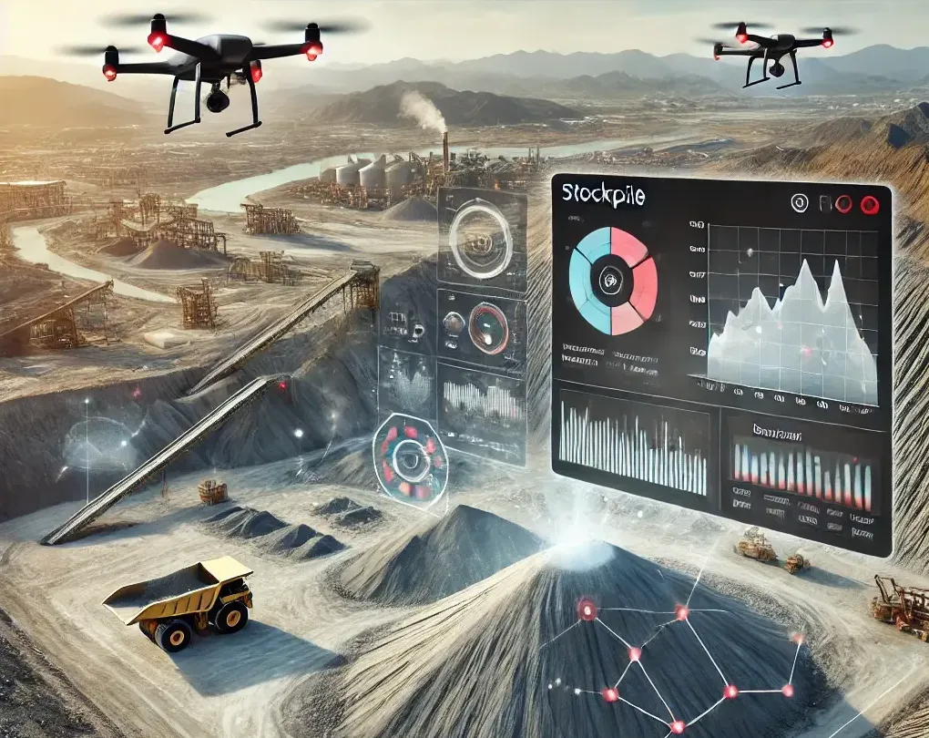
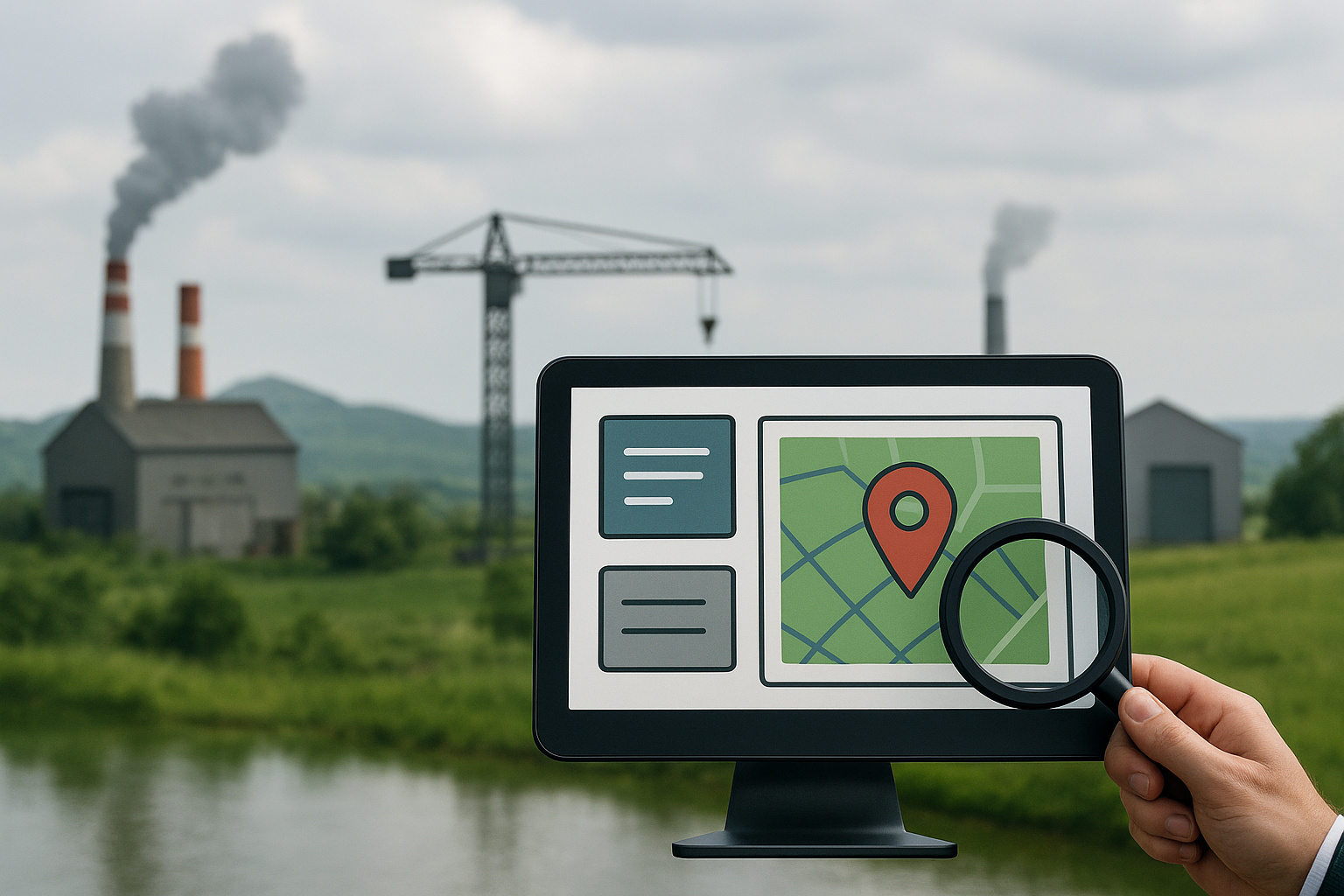
GIS maps that show boundaries clearly.

Drone surveys for accurate data.

Digital records that can’t be “lost” or tampered with.

Alerts that remind companies about compliance and lease renewals.

Dashboards where decision-makers can see the full picture

This isn’t about replacing people—it’s about making their job simpler and faster.

OxLand – A Working Example

One system built for this purpose is OxLand, developed by Oxbow Intellect. Unlike scattered manual methods, OxLand puts everything in one platform.

With OxLand, an industry can:

Identify the right parcels of land with GIS-based search.

Store every ownership and approval document digitally.

Track compliance deadlines and avoid penalties.

Watch out for encroachment with monitoring tools.

View all land data in a simple dashboard.

It basically reduces the guesswork. For industries investing hundreds of crores, this can mean saving years of delay and huge amounts of money.

Why India Needs It More

India has countless examples of stalled projects due to land issues. Big power plants, steel projects, and highways have been delayed or scrapped because of disputes. According to estimates, land disputes are behind a significant portion of pending cases in Indian courts.

With new industrial corridors and smart cities coming up, the demand for land is only going to rise. If industries continue to depend on old manual systems, the risks will multiply. A comprehensive Land Management system like OxLand fits naturally with the government’s Digital India vision. It also builds trust with communities because everything is recorded and transparent.

Closing Thoughts

For industries, land is not just dirt and boundaries. It is the foundation of growth. Without a clear way to acquire and monitor it, companies lose money, time, and investor confidence.

A Land Acquisition Monitoring system brings order to this messy process. It helps industries stay compliant, avoid disputes, and plan their projects with clarity.Tools like OxLand show that the solution already exists. The only question is: how quickly will industries adopt it? Because every delay in land means a delay in growth.

Industries Can Save Millions of Dollars Every Year with Drone-Based Stockpile Monitoring

Managing raw material stocks in the majority of companies involves more than just counting the items present. Production scheduling, financial reporting, logistics, and even compliance are all directly impacted. Whether it’s limestone in a cement factory, iron ore in a steel mill, or coal in a power plant, a precise grasp of stockpile volumes is essential. However, a lot of businesses continue to manage their stockpiles using antiquated, laborious, and prone to mistakes techniques.

Drones have altered the rules in this regard. Not just a “tech upgrade,” drone-based stockpile monitoring is turning out to be a more intelligent, dependable, and quick solution. It can save millions of dollars annually for a variety of sectors.

Why Conventional Approaches Are Ineffective

Industries have relied on manual surveys or ground-based tools, such as total stations, for stockpile measurements for many years. Surveyors using these techniques must physically climb or navigate over uneven and occasionally dangerous heaps. In addition to the safety hazards, this procedure is time-consuming and frequently produces erroneous results.

Massive financial disparities can result from even a tiny measurement inaccuracy in coal or ore stocks. For example, a steel plant’s annual impact might be worth crores of rupees (millions of dollars) if it miscalculates its ore stockpile by just 2–3%. It becomes evident that standard methods are no longer sufficient when you factor in labor expenses and time delays.

The Operation of Drone-Based Monitoring

Within a few minutes, drones with high-resolution cameras and software for LiDAR or photogrammetry may fly over a stockyard. Thousands of overlapping photos taken from various perspectives are captured by these aircraft. This data is then processed by sophisticated algorithms to produce incredibly precise 3D models and stockpile volume calculations.

It is a quick and non-intrusive procedure. Drones can frequently finish a work in a few hours that would take two to three days using ground survey methods. Furthermore, mistakes can be decreased to less than 1%, indicating a significantly better level of detail.

Where Do Millions Come From for the Real Savings?

Drone-based stockpile monitoring helps industries save money in a number of ways.

Precise Inventory Control


Businesses are able to determine the exact amount of raw material that is accessible thanks to accurate measurements. By doing this, understocking which could cause production to stop and overstocking which could lock up needless capital—are prevented.

Decreased Material Loss


Theft, poor management, and even natural deterioration are commonplace in stockyards. Discrepancies can be identified early with regular drone scans, averting losses that might otherwise total crores of rupees every year.

Enhanced Logistics


Better coordination of arriving and leaving cargo is made possible by accurate data. This lowers fuel expenses, demurrage fees, and delays for transportation fleets.

Reduced Conflicts


Raw materials for many sectors come from a variety of suppliers. There are frequently disagreements on the precise amount supplied. Volumetric reports from drones offer objective, verified data, minimizing disputes and needless costs.

Reduced Survey Expenses

Conventional survey teams need a lot of personnel and tools. These expenses are significantly reduced by drones, which also increase worker safety by preventing them from approaching dangerous materials.

Beyond Financial Savings: Additional Advantages

In addition to the immediate cost savings, drone-based monitoring offers benefits in a 

number of different ways:

Safety: Employees no longer have to operate in hazardous conditions or scale precarious stacks.

Speed: Industries may monitor more regularly thanks to faster surveys, which guarantees current data for better decision-making.

Transparency: Accountability is increased by the ease with which digital reports and 3D models may be shared between departments.

Scalability: Drone monitoring may be expanded with little effort, regardless of the size of the facility one plant or several locations dispersed over several states.

Real-World Illustration

Think about a power plant that uses five million tons of coal per year. A 1% inaccuracy in inventory computation would result in 50,000 tons going missing. This amounts to a loss of ₹300 crore (about $36 million) at an average price of ₹6,000 per tonne.

Imagine using precise drone-based surveillance to stop even half of this loss. The cost of implementing drone technology is easily justified by the savings. This is not a scenario from the future; it is already taking place in stockyards and plants all throughout India and the world.

The Path Ahead

Ignoring technology is no longer an option for sectors where raw materials influence a large portion of expenses. Drone-based stockpile monitoring is a business need, not just a “modernization” tool. It’s one of the best investments a business can make right now since it can save millions of dollars, increase safety, and streamline processes.

Businesses that use drones are already seeing increases in productivity and profitability. Those who stick with antiquated manual surveys run the danger of increased expenses as well as losing their competitive edge in a market that is changing quickly.Concluding remarks

Each pile of limestone, coal, or ore is a representation of money. It’s like throwing away money if you measure it incorrectly. Industries are guaranteed to know exactly what they have, when they have it, thanks to drone-based stockpile monitoring. In many instances, the annual savings amount to millions of dollars.

It’s obvious that drone technology will become essential as its use increases. Drones are the future of stockpile monitoring for enterprises seeking accuracy, cost reduction, and safety, and that future is already here.

© Oxbow Intellect. 2026 All Rights Reserved
Oxbow Assist Online

Hello! Please fill out the form below and our Geospatial AI team will contact you via email shortly.